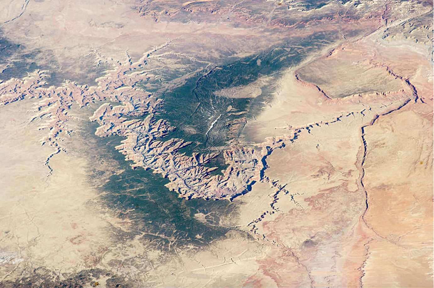
 Satellite image of the lower Grand Canyon taken as part of a NASA program to track water and sediment levels.
NASA satellite imagery shows a more detailed picture of how drought has shrunk water levels and exposed the bottom of the Colorado River in the lower Grand Canyon.
Scientists used satellite imagery to map water, sand and vegetation in a 60-mile stretch of the Grand Canyon including Lake Mead. Michael Brooke supervised the project for NASA DEVELOP, a national program that applies satellite data to environmental problems.
“Since 1998, when this drought really began, water levels in Lake Mead have dropped 150 feet vertically,” Brooke said. “And that’s exposed thousands of acres of lake bed sediment.”
The water’s surface area has diminished by 38 percent over the last two decades. Newly exposed sediment fills in with vegetation. As water continues to drop, the plants die, leaving dead trees and bare sand behind.
Those findings are concerning to Ed Schenk, a geoscientist at Grand Canyon National Park.
“Now we have these large exposed expanses that are just dead forest and open for dust transport and open for sediment transport,” Schenk said. “We really don’t know what’s in that sediment. We don’t know the impact of it on public health.”
Schenk says the Park Service plans to study the dust for heavy metals and other contaminants. He added that the drought-driven changes could affect recreation and wildlife.
By submitting your comments, you hereby give AZPM the right to post your comments and potentially use them in any other form of media operated by this institution.