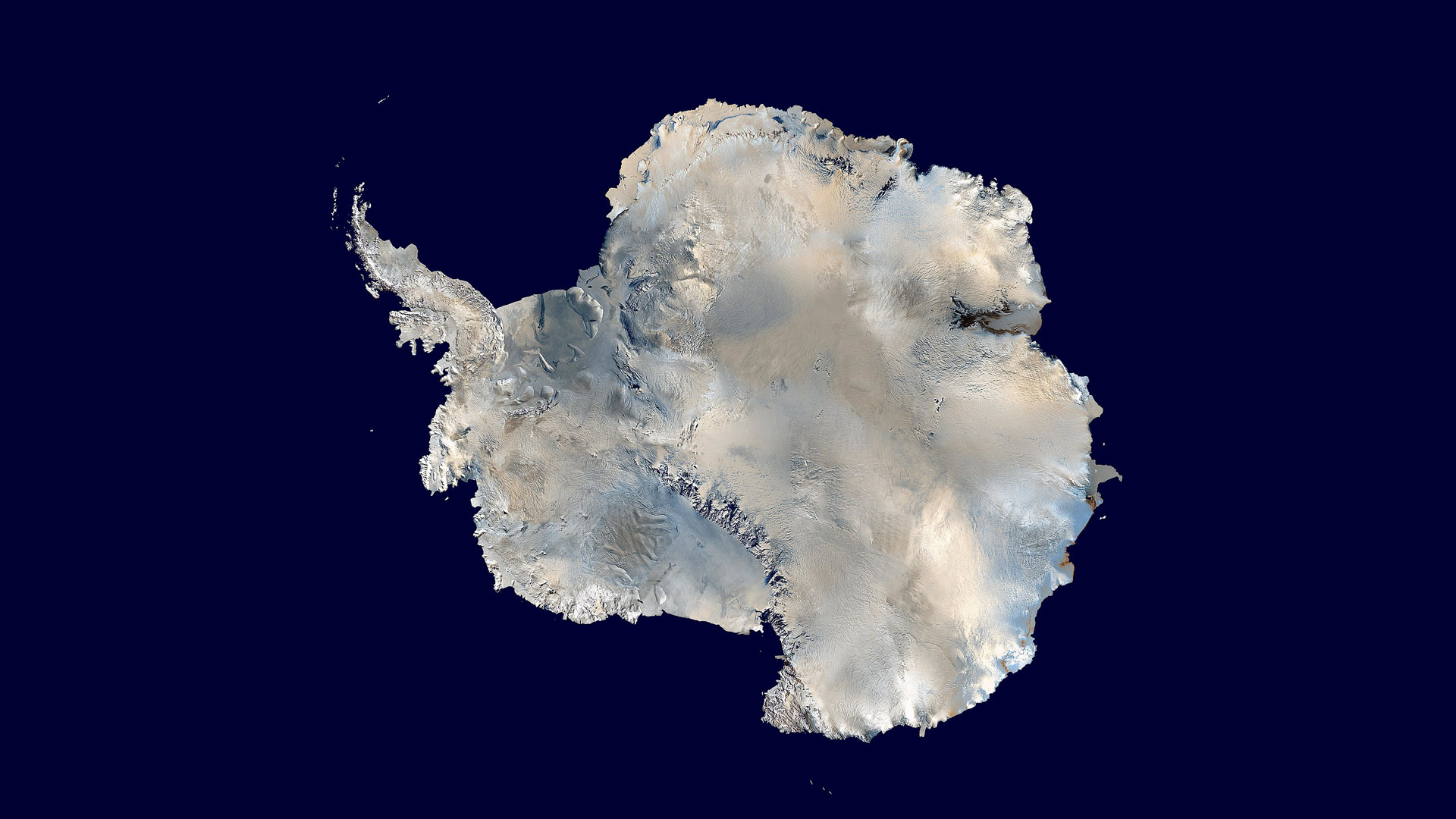
 Antarctica. An orthographic projection of NASA's Blue Marble data set (1 km resolution global satellite composite). "MODIS observations of polar sea ice were combined with observations of Antarctica made by the National Oceanic and Atmospheric Administration’s AVHRR sensor—the Advanced Very High Resolution Radiometer." Image was generated using a custom C program for handling the Blue Marble files, with orthographic projection formulas from MathWorld.
Dave Pape using 2002 Blue Marble data
Scientists are trying to get more accurate measurements of conditions in the continent of Antarctica. University of Arizona Hydrology and Atmospheric Sciences professor Ali Behrangi describes how using a satellite in space can deliver data about snow and ice in one of the world’s harshest environment.
Catch Arizona Science each Friday during Science Friday on NPR 89.1. You can subscribe to our podcast on Apple Music, Spotify, Amazon Music, or the NPR App. See more from Arizona Science.
MORE:


By submitting your comments, you hereby give AZPM the right to post your comments and potentially use them in any other form of media operated by this institution.